- 4 June 2025
Big Snow is on the way - and it’s not just a dusting
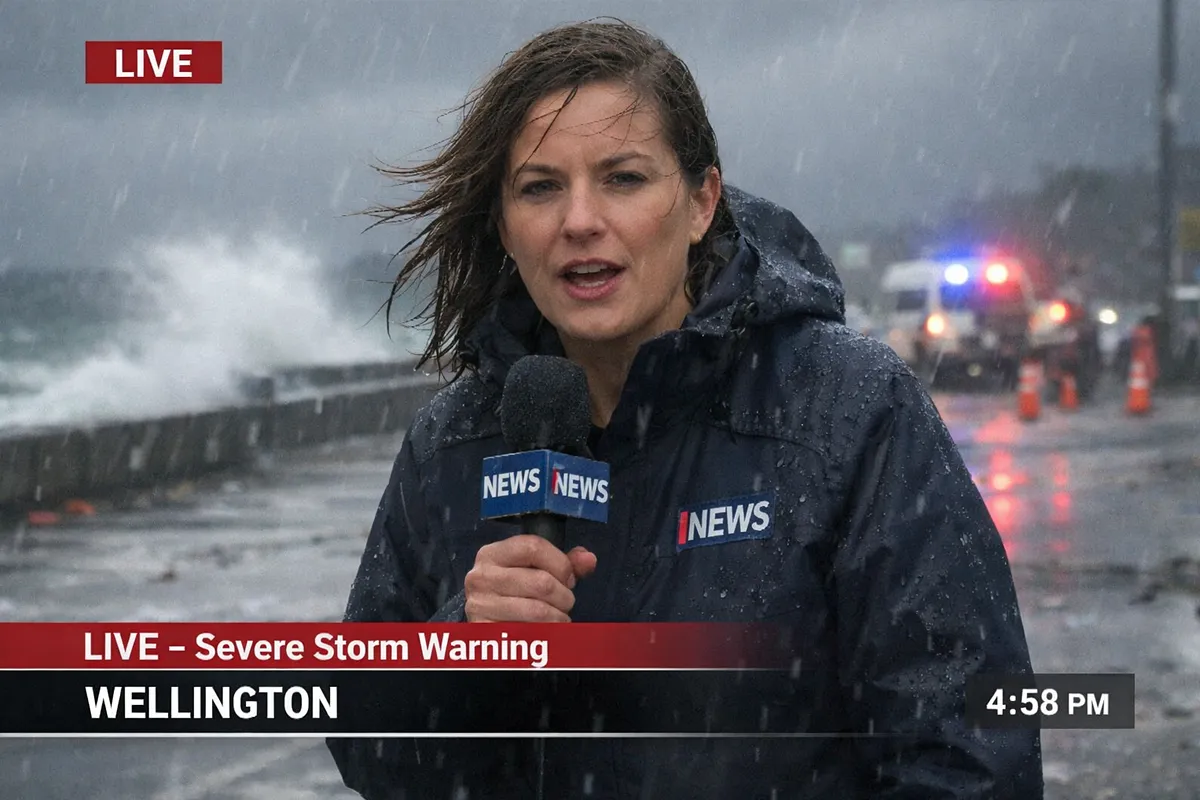
All the national weather services, WeatherWatch, NIWA and Metservice have issued a Snow Watch for the South Island and the Central Plateau – in fact, pretty much all of the ski fields across the country, with accumulations expected from around midnight tonight through to Saturday.
Snow is forecast to fall to low levels this week, with parts of inland South Island set to plunge to -10°C overnight. Daytime temps won’t offer much relief either – barely climbing above freezing. MetService has already issued a Heavy Snow Watch for Canterbury on Wednesday, and it’s looking likely that’ll shift to a full warning as conditions build.
WeatherWatch (see the video) also predicts cold air pushing in fast after the recent tropical rain event. As the southerly arrives, the South Island fields will see the first real system of the season.
Weather Info
09 June 2025
Coldest morning in New Zealand for 2025 so far after polar blast
07 June 2025
Big Snow for this weekend
04 June 2025
WeatherWatch weather report: Here comes Winter!
04 June 2025
Met Service Severe Weather Update
04 June 2025
NIWA weather report: Here comes Winter
It's going to get cold, very cold!
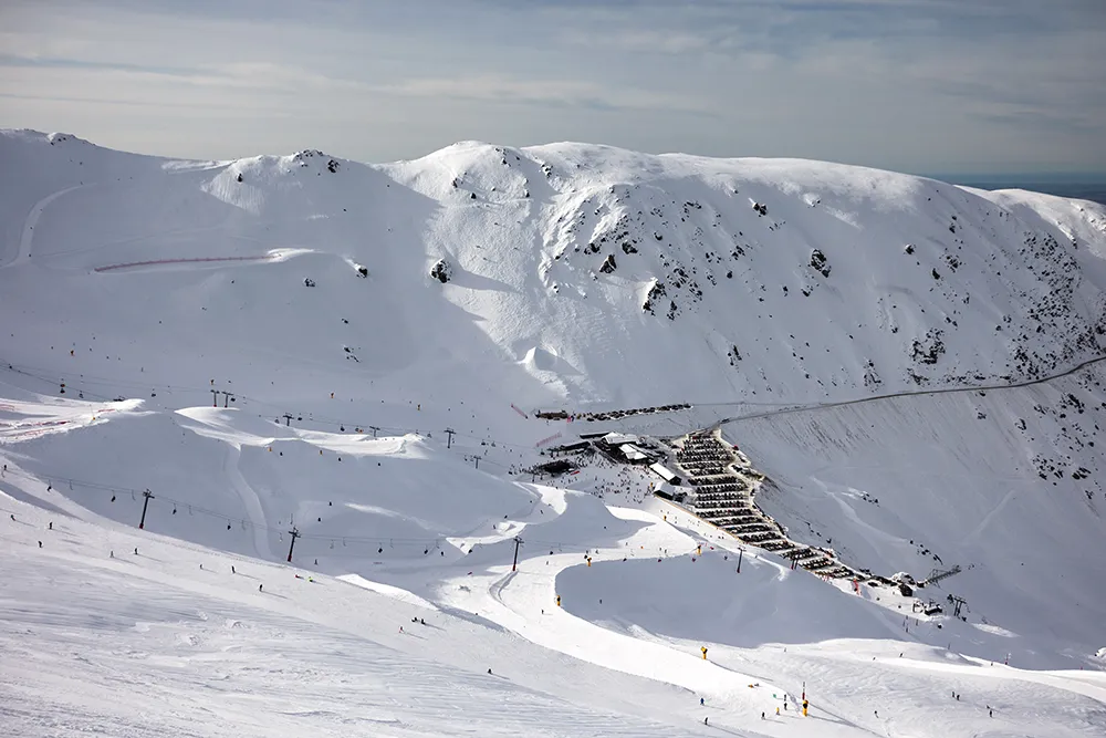
The weather channels are predicting snow levels dropping as low as 50 to 100 metres. The central plateau will stay cool and dry until Friday or Saturday – then the snow is expected to arrive.
All eyes are now on the South Island ski fields (Mt Hutt is forecasting up to a metre of snow!), which could be the first to benefit. This system might just kick off the winter we’ve been waiting for.
Make sure to check back on this page – I’ll be updating it once the storm has passed. It should be quite a spectacle.

By Richard Hayes - Skier, Explorer, Storyteller
I’m Richard Hayes, and for over 40 years, I’ve been skiing New Zealand’s mountains, driving its backroads, and finding out where the real adventures are. I’m not a full-time travel writer – I’m someone who simply never stopped exploring.